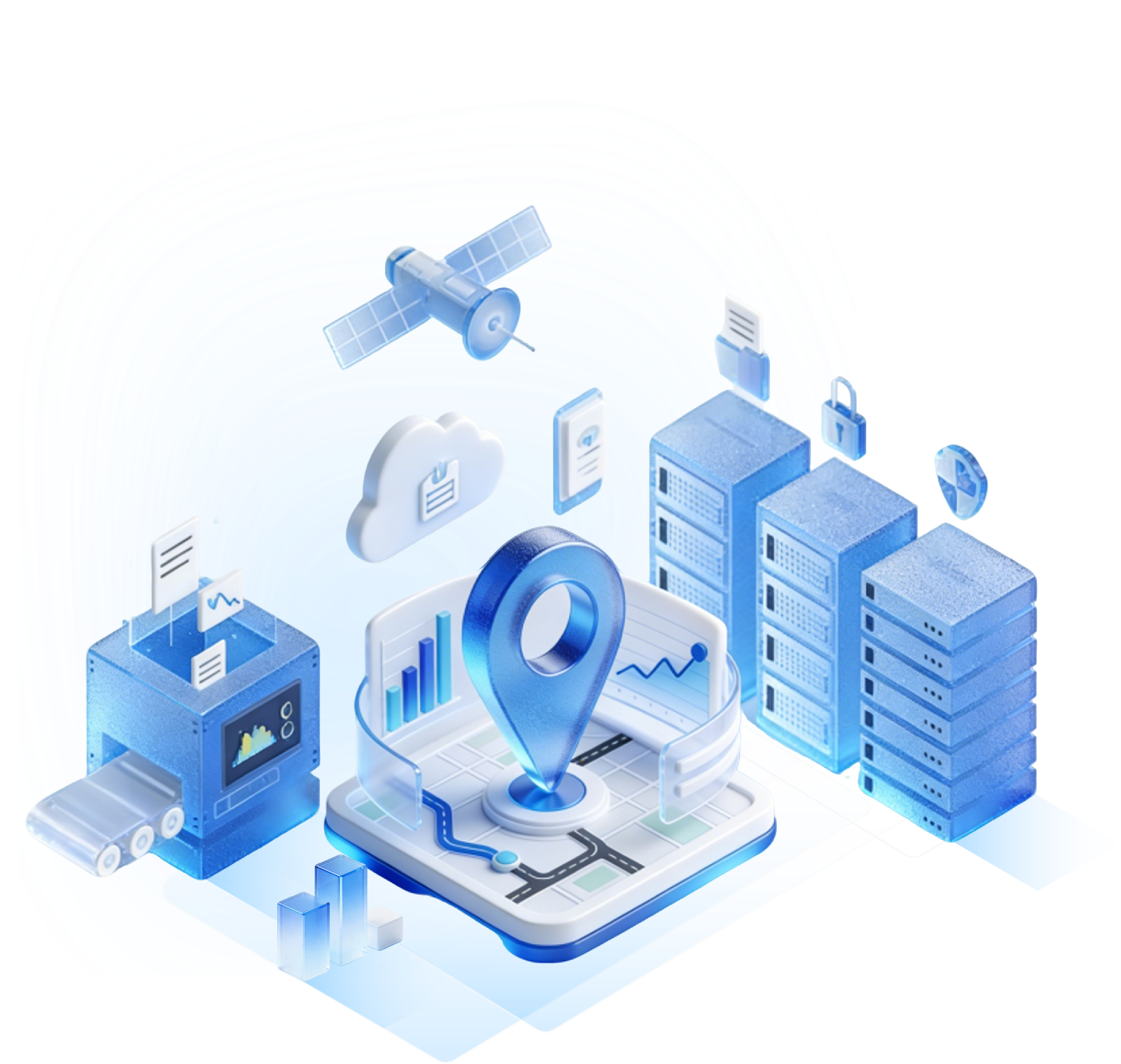
In complex indoor environments like large shopping malls, hospitals, and airports, users often become lost due to the complex spatial layout, and traditional map services often fail indoors. Indoor navigation systems, by integrating positioning technology, map data, and user interaction design, are a key tool for addressing this pain point.

Requirements Analysis
The first step in creating an indoor navigation system is to accurately identify the target scenario and user needs. Navigation requirements vary significantly across different scenarios: hospitals need to support precise department location, registration and examination route planning, and emergency exit prompts; shopping malls need to provide store search, floor navigation, promotional notifications, and reverse parking lot tracking; airports need to cover check-in counters, security checkpoints, boarding gate navigation, and real-time baggage carousel tracking.
User pain point analysis must be based on the specifics of the scenario. For example, hospital patients experiencing physical discomfort may require the shortest route navigation, while shopping mall users are more concerned with quickly reaching points of interest (POIs). Through user research, competitive product analysis, and scenario simulations, we can identify the core functions (such as multi-floor navigation, voice guidance, and AR real-world navigation) and extended functions (such as seamless indoor-outdoor transitions and crowd density warnings) that the system must support, providing a basis for subsequent technology selection.
Technology Selection
The core technologies of indoor navigation systems include positioning technology, map data formats, and interaction methods. These technologies must be selected based on scenario requirements and resource constraints.
Positioning Technology: From High Precision to Low Cost, Full Coverage
Ultra-Wideband (UWB): With an accuracy of 10-30 cm, it is suitable for high-precision scenarios such as operating room navigation and warehouse robot positioning. However, a single industrial-grade UWB base station (supporting TDoA algorithm and 10-30cm accuracy) costs approximately $200-500 USD and requires high deployment density (1 base station per 20-30 square meters in complex environments).
Bluetooth Beacon: With an accuracy of 1-3 meters, it is low-cost and flexible to deploy. It is suitable for medium-precision scenarios such as shopping malls and museums, but requires regular battery maintenance.
Wi-Fi Fingerprint Positioning: Leveraging existing Wi-Fi networks, it offers an accuracy of 2-5 meters and requires no additional hardware. However, it requires pre-collection of a signal fingerprint database and requires recalibration when the environment changes. Inertial Measurement Unit (IMU): Uses accelerometers and gyroscopes to estimate position, offering high short-term accuracy, but errors accumulate over time and require integration with other technologies.
Map Data Format: Prioritizing both standardization and lightweightness
Vector Maps: Support dynamic zooming, route planning, and POI annotation. They are lightweight and suitable for mobile device loading, but require specialized tools for rendering.
Point Cloud Maps: Generated using LiDAR or depth cameras, offer high accuracy and can reproduce complex structures (such as escalators and glass walls), but they require large data volumes and high processing complexity.
Image Stitching Maps: Combine multiple indoor photos into a panoramic image. This is low-cost, but positioning relies on visual features and is susceptible to lighting fluctuations.
Interaction Methods: Diversified to meet diverse user needs
Mobile Apps: Support route planning, voice navigation, and POI search, making them the mainstream interaction method, but requiring user interaction.
AR Navigation: Overlaying virtual arrows via the camera is intuitive and suitable for guiding at complex intersections, but requires high device performance. Mini Programs/H5 apps: No download required, ready to use, suitable for temporary navigation needs, but limited functionality.
Map Construction: From Data Collection to Dynamic Updates
Indoor maps are the foundation of navigation systems and require three phases: data collection, processing, and dynamic maintenance.
Data Collection: Multi-sensor Fusion Improves Accuracy
LiDAR Scanning: Generates high-precision point clouds and can identify structures at the 0.1-meter level (such as fire hydrants and escalators), but the equipment cost is high (approximately $10,000-70,000 per unit).
Depth Cameras (RGB-D): Low-cost (approximately $140-700 per unit) and can generate color point clouds, but with a short effective range (approximately 5 meters), suitable for small-scale data collection.
Mobile Crowdsourcing: Builds maps cost-effectively by uploading photos and location information from users, but requires algorithms to filter out low-quality data.
Data Processing: A combination of automation and manual verification
Point Cloud Registration: Aligns scan data from multiple stations to eliminate accumulated errors. The ICP (Iterative Closest Point) algorithm is commonly used. Semantic Annotation: Identify elements such as walls, doors, and elevators to provide semantic information for path planning.
Topology Construction: Generate a topological map of nodes (such as intersections and elevator entrances) and edges (paths), supporting shortest path algorithms.
Dynamic Updates: Respond to Environmental Changes
Regular Scanning: Quarterly rescans the mall's storefronts to update map data.
User Feedback: Allows users to report errors (e.g., "There's a fence here"), which are then manually reviewed and revised.
IoT Device Interaction: Utilizes status data from devices such as access control and elevators to update accessible areas in real time.
System Development: Modular Design and Cross-Platform Adaptation
The development of indoor navigation systems must balance functional integrity and user experience, typically adopting a layered architecture:
Backend Services: Positioning, Path Planning, and Data Management
Positioning Engine: Receives signal data uploaded by the frontend (e.g., Wi-Fi RSSI, Bluetooth UUID) and calculates location using algorithms (e.g., fingerprint matching and triangulation).
Path Planning: Generates the optimal path based on the topological map and algorithms such as Dijkstra and A*, supporting multi-floor switching and barrier-free routing. Data Management: Stores map data, POI information, and user behavior logs, supporting dynamic updates and queries.
Front-end Application: Multi-device Adaptation and Interaction Optimization
Mobile: Utilizes native development (iOS/Android) or a cross-platform framework (Flutter), supporting offline map caching and low-power positioning.
Web: Renders 3D maps using WebGL, compatible with PCs and tablets, suitable for backend management and temporary use.
AR Glasses: Integrates SLAM (Simultaneous Localization and Mapping) technology for real-world navigation, requiring optimized algorithms to reduce device heat generation.
Third-Party Service Integration: Expands System Capabilities
Payment System: Integrates with WeChat and Alipay to support store coupon redemption and redemption.
Message Push: Increases user engagement through geo-location triggers (e.g., notifications about floor numbers when approaching an elevator).
Data Analysis: Computes user heatmaps and dwell time to provide decision support for mall operations.
Test Optimization: From Lab to Real-World Scenario Verification
After system development is complete, multi-stage testing is required to ensure stability and accuracy:
Lab Testing: Verify core functionality in a simulated environment
Positioning Accuracy Testing: Deploy beacons in a standard test field (e.g., a 10m x 10m empty room) and compare the system's output position with the actual position. The error must be ≤ 1 meter (for shopping mall scenarios).
Path Planning Testing: Input a starting point and an end point to verify the system's ability to avoid obstacles (e.g., construction sites) and generate the shortest path.
Stress Testing: Simulate 1,000 concurrent user requests to check server response time and crash rate.
Real-World Testing: Covering Edge Cases
Crowd Interference Testing: Test signal stability during peak hours in a shopping mall to ensure that Bluetooth beacons are not blocked by people, causing positioning interruptions.
Dynamic Environment Testing: Temporarily block a specific aisle to verify the system's ability to update the path in real time.
Multi-Device Compatibility Testing: Tests different phone brands (e.g., Huawei, Apple), operating system versions, and screen sizes. 3. User Feedback Iteration: Continuously Optimize the Experience
A/B Testing: Compare user satisfaction with different interaction designs (e.g., voice prompt frequency, map color scheme).
Heatmap Analysis: Identify unpopular areas based on user dwell data and optimize POI layout or navigation routes.
Version Iteration: Release new versions every 2-4 weeks based on user feedback to fix bugs and add new features (e.g., indoor parking reservations).
Creating an indoor navigation system is a complex, multidisciplinary project that requires striking a balance between technical feasibility, budget, and user experience.
Each location is meaningful!
Get real-time tracking insights and solutions tailored to your needs.
Enter your email to get our newsletter on best-in-class RTLS, AoA, and BLE solutions.

Sign-up
successful !
Our team will get in touch with you
shortly.


 Search