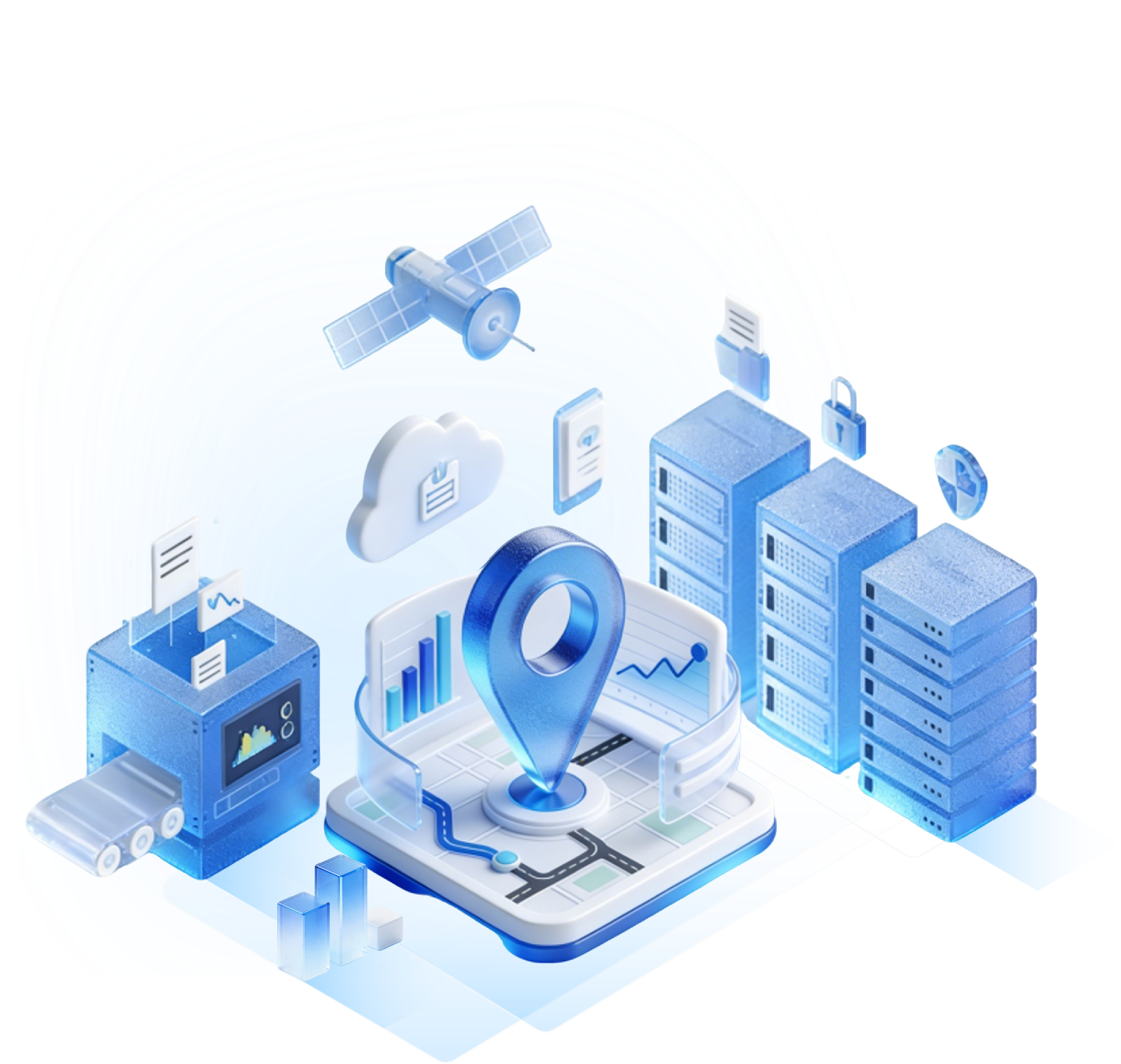
With the rapid development of the Internet of Things and smart devices, GPS tags, as a tool that integrates positioning technology and information management, are gradually penetrating into multiple fields such as logistics, agriculture, and security. It not only realizes real-time tracking of target objects, but also improves management efficiency through data interaction.

Definition and composition of GPS tags
Core concept
GPS tag (Global Positioning System Tag) is an intelligent device that integrates GPS positioning module, communication module (such as GSM/LTE/LoRa) and data processing unit. It determines the location by receiving satellite signals and transmits data to the cloud or user terminal to achieve remote monitoring and management.
Hardware composition
GPS module: Receives signals from 24 GPS satellites to calculate latitude and longitude, altitude and speed.
Communication module: Supports cellular network (4G/5G), LoRa or satellite communication to ensure real-time data transmission.
Sensor: Optional accelerometer, temperature sensor, etc. to expand environmental monitoring functions.
Power system: Built-in lithium battery or solar panel to support long-term battery life.
Data interaction process
GPS tags complete the closed loop through the four steps of "positioning-collection-transmission-analysis":
Receive satellite signals and calculate location data;
Collect sensor data (such as temperature and humidity);
Upload to the cloud server through the communication module;
Users view real-time location and historical trajectory through the APP or web page.
Core technology analysis of GPS tags
High-precision positioning technology
Multi-satellite system fusion: Support multi-system positioning such as GPS, Beidou, GLONASS, etc., to improve positioning accuracy in complex environments (error <5 meters).
Differential positioning (DGPS): Correct satellite signal errors through ground base stations to increase accuracy to centimeter level, suitable for agricultural machinery navigation.
Low-power communication technology
NB-IoT/LoRa: Use narrowband IoT or long-distance radio technology to reduce power consumption and extend battery life to several years.
Data compression algorithm: Optimize the size of transmission data packets and reduce traffic consumption.
Edge computing and intelligent analysis
Local data processing: Filter invalid data on the tag side to reduce cloud transmission pressure.
Abnormal behavior identification: Use algorithms to determine whether the device deviates from the preset route or exceeds the speed limit, triggering an alarm.
Typical application scenarios of GPS tags
Logistics and supply chain management
Cargo tracking: Real-time monitoring of the transportation status of containers and trucks to prevent loss or delay.
Cold chain monitoring: Combined with temperature sensors, ensure that medicines and food meet temperature control requirements during transportation.
Case: A courier company reduced the loss rate of goods by 30% and customer complaints by 45% through GPS tags.
Agriculture and animal husbandry
Precision agriculture: GPS guides agricultural machinery to automatically sow and fertilize, reducing resource waste.
Livestock management: Wear GPS ear tags for cattle and sheep to prevent loss and monitor health status.
Data value: A ranch shortened the time to retrieve livestock from an average of 2 days to 4 hours through GPS ear tags.
Vehicle and asset management
Fleet scheduling: Optimize delivery routes and reduce fuel costs.
Asset anti-theft: Install GPS tags for construction machinery and rental vehicles to achieve remote vehicle locking and track playback.
Policy compliance: Some regions require dangerous goods transport vehicles and school buses to install GPS tags to improve public safety.
Personal safety and health
Elderly/children positioning: Prevent getting lost through GPS tags built into smart watches or insoles.
Sports tracking: Record running and cycling routes and analyze sports data.
Future development trends of GPS tags
Technology integration and innovation
5G+AI: 5G networks improve data transmission speed, and AI algorithms optimize positioning accuracy and energy consumption.
UWB (ultra-wideband) technology: Achieve centimeter-level indoor positioning and expand applications in warehousing, medical and other scenarios.
Green and environmentally friendly design
Solar power supply: Extend device life and reduce battery replacement frequency.
Degradable materials: The label shell is made of environmentally friendly materials to reduce electronic waste pollution.
Industry standardization and compliance
Data security: Encrypted transmission and storage to prevent location information leakage.
International certification: Passed FCC, CE and other certifications to meet global market access requirements.
GPS tags redefine the boundaries of object tracking and management by deeply integrating positioning technology with the Internet of Things. From logistics and transportation to personal safety, from agricultural planting to asset protection, it is solving the pain points of traditional industries in an efficient and intelligent way. With the further development of technologies such as 5G and AI, GPS tags will evolve in a more accurate, greener and safer direction, becoming an important force in promoting the digital transformation of society.
Each location is meaningful!
Get real-time tracking insights and solutions tailored to your needs.
Enter your email to get our newsletter on best-in-class RTLS, AoA, and BLE solutions.

Sign-up
successful !
Our team will get in touch with you
shortly.


 Search